|
South Wellington Track, Wellington Park, Tasmania, 2021
Photographs and commentary: copyright Jonathan C Nevill 2021, unless otherwise credited. Camera: Samsung Galaxy S7
Mount Wellington, sunset, Priscilla Park, Mortimer Bay, looking west. This image shows Mount Wellington as a plateau mountain rather than a peak mountain. The highest point is near the television tower, which you can see on the right side of the mountain skyline. 11/01/2021. The South Wellington Track runs south (towards the left) from the tower, along the plateau.
The Track is one of many tracks in Wellington Park, which lies a few kilometres west of the city of Hobart, Tasmania.
The South Wellington Track starts (or ends, depending on your point of view) at the Mount Wellington summit car-park. Just north of South Wellington (as you can see above) the track changes name to become the Ice House Track, and turns to the east, running downhill until it connects with The Springs facilities. Note that the elevations of Mount Wellington and South Wellington are similar. The map above is published by the Wellington Park Trust.
It
was a cold and misty morning.... The mountain mist provides an
atmosphere of peace and solitude.
Looking south: "the potato fields". Actually there are two areas like this. It's the other area, to the southwest, which holds that name.
Amazing rocks are everywhere you look...
Notice how the columns break up, but remain standing.
The sun broke through the mist at just the right moment. That's Hobart in the background, of course.
On January 17, I walked again to South Wellington. As before, it was a cold and cloudy day, with brief patches of sunshine. This time I parked at The Springs, and walked up via the Ice House Track. Long ago, ice was produced here and sold in Hobart. There's very little left of the ice houses now. Of the four marked on the map, I could only find one. Really nothing more than a shallow depression, with the remains of stone foundations.
I'm accustomed to seeing 'Old Mans Beard' on trees, but here it is an overgrowth on ground cover.
There's an area just east of South Wellington called Devil's Gullet. It's a steep-sided gully, lined with boulders. It's photogenic under the right lighting, but on this day ... no. So I've included this photo and the one below for illustrative purposes only.
Devils Gullet, viewed from the high ground of South Wellington.
Extremely rocky areas present obvious challenges for plants, but sometimes they provide just what the plant needs. Here the fern is on the south side of a large rock, so protected from too much sun in summer. Viewed against the sober rocks, the fern seems almost iridescent.
The view from South Wellington, looking north.
The
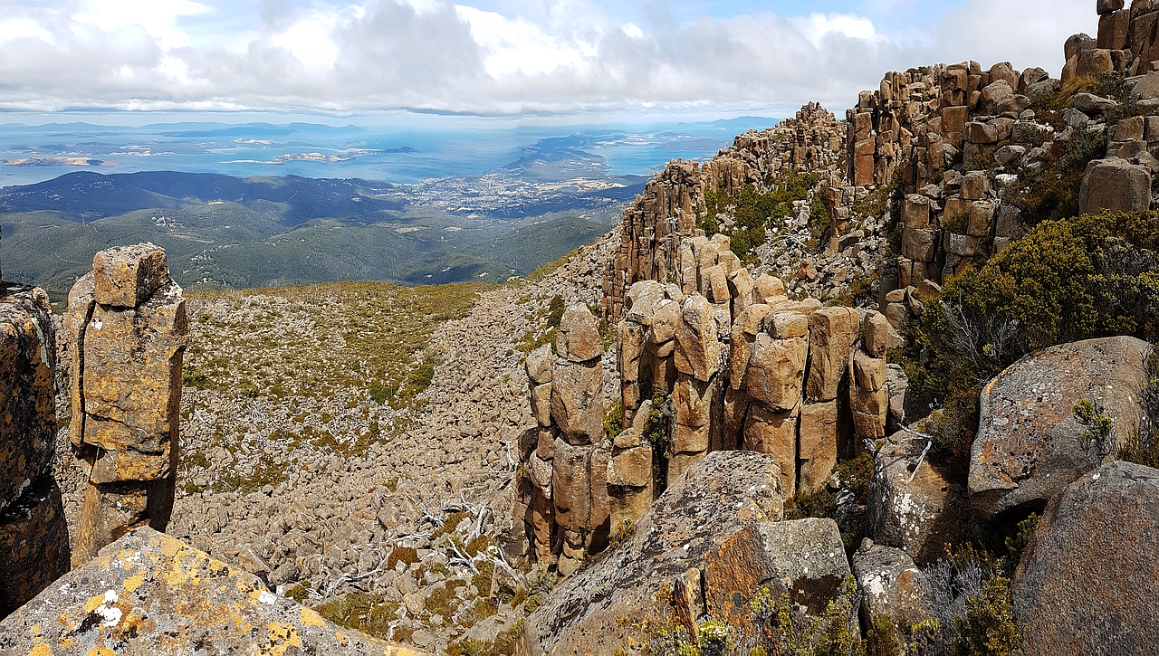
view from South Wellington, looking south, towards Kingston and Bruny
Island. Note also the free-standing column on the left. I was lucky to get a moment of sunlight to take this photo.
South Wellington is particularly beautiful at sunrise:
Zafira
|


